 BAgis
Network map, maintenance, facilities, test reports, incidents and office work in one place – in the office on the PC and out in the field on the phone. For water utilities – and for everything else a municipality looks after outdoors, from street lights to playgrounds.
Supports self-monitoring under the Austrian standard ÖNORM B 2539 (ÖVGW W 59) and operational documentation under ÖVGW W 85.
 In daily use at the Zwischenwasser Water Cooperative (Austria)
No more notes, Excel lists and scattered folders. Every maintenance job, every photo and every test report can be found by everyone straight away.
Water technicians and the municipal works team record inspections and damage on their phones – with photo and location. A QR code or NFC tag on the object opens the right page.
BAgis runs on your premises, not in someone else's cloud. You have access to all data at any time and can export everything – independently of us.
Pipes, valves, hydrants, structures – or street lights and manholes: whatever you already have in your GIS or on plans, we take it over. In BAgis it becomes the shared network map that everything else builds on.
The apps attach directly to these objects: the maintenance record belongs to the valve, the inspection to the reservoir, the photo to the hydrant. Shut-off planning and hydraulics calculate with your network.
When the network changes, you load the new GIS data – all records are kept. And your GIS technician can get the data back out of BAgis at any time.
No GIS yet? You can still start with BAgis – we will show you the way there.
A municipality looks after more than its water network. In BAgis every area gets its own division – with its own colour, matching apps and its own permissions. Anyone responsible for several areas switches with one click.
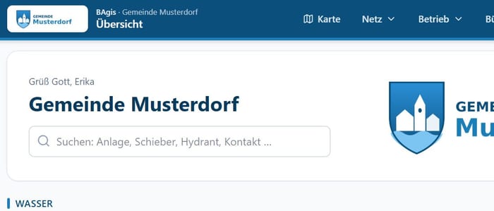
Pipes, valves, hydrants and facilities – maintenance to the standards, shut-off planning, utility information.
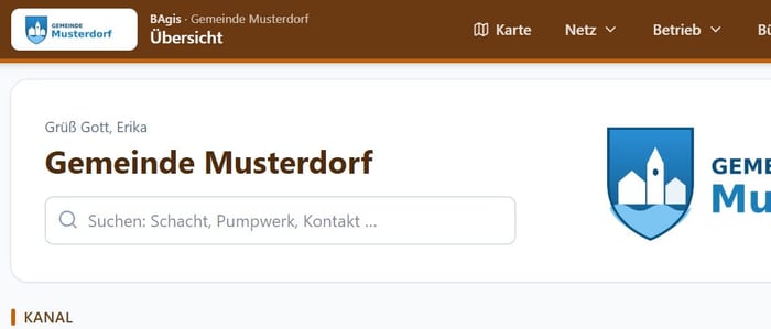
Pipes and manholes, pumping stations and stormwater tanks with inspections, blockages, sewer information.
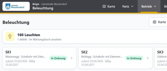
Lights and switch cabinets with number and location, fault reports, inspections, site plans for contractors.
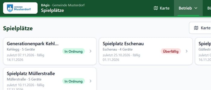
Playgrounds and equipment with inspections to EN 1176-7 – the inspection report for the insurer at the push of a button.
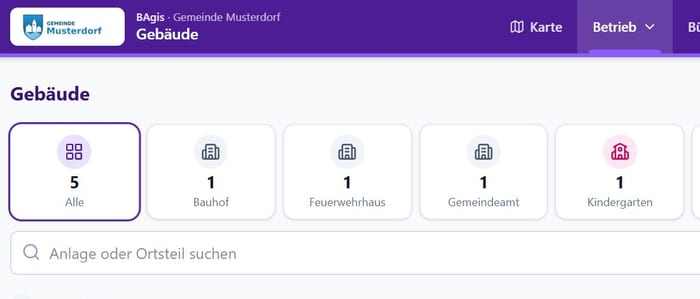
Town hall, school, kindergarten, depot: inspections with deadlines, damage and maintenance by specialist firms.
Shared by all divisions: tasks, contacts, file storage and staff – same operation, one login. We set up further areas as needed:
Each area is its own app in BAgis. You choose which ones you use – and, for each person, who may see and edit what.
Pipes, valves and hydrants on current aerial imagery, with address search, maintenance status and source protection zones.
Springs, reservoirs, pumping stations and control valves with key figures, documents and inspections.
Simply upload lab reports and expert opinions – values are extracted and shown as a trend for each sampling point.
Valve and hydrant checks at the intervals set by the standard – BAgis reports due work by itself.
Pipe bursts, construction sites and flushing with location on the map and photos – fully documented.
Visitors report damage in a building via QR code on their phone – no login needed. You take over the report with one click.
Site plans for contractors and residents as a PDF in a few clicks – with a register and sending by email.
Keep track of the municipality's building permits – charge connection fees without missing a single building.
On-call rota weeks in advance – if you wish, the emergency number switches over by itself when a shift starts.
Forward the office and emergency numbers with one tap to whoever is available right now.
Tap a pipe burst on the map – BAgis shows which valves to close and which houses are affected.
Companies, authorities and contact persons in one place – call or write with one tap.
Plans, contracts and photos organised by object – also as a network drive on the PC.
Who does what by when – with a weekly email reminder about due work.
Appointments, on-call duty and due dates in one calendar – also as a subscription in Outlook and on your phone.
Enter working hours and kilometres on your phone – the statement comes out ready as a PDF.
Who does what: roles, deputies, certificates and training – with a reminder before anything expires.
Your network in figures: length, material, age – and how many metres should be renewed each year.
Finds errors in the pipe network – gaps, open ends, missing data – and helps you fix them right away.
Network calculation: how much pressure reaches each house, is there enough fire-fighting water at the hydrant? At a glance on the map.
Point your phone at the street and see where pipes, valves and hydrants are.
Centimetre-accurate with the GNSS survey pole: survey new pipes, valves and hydrants during construction. And the other way round: arrow and compass guide you to the valve you are looking for – even under snow or asphalt.
Assess hazards for each supply zone and plan measures – ready for the new requirements.
The report for the board, the municipal council or the general meeting at the push of a button – network, maintenance, water quality, tasks.
Notebooks, phones, tablets and servers – who has which device and where it is.
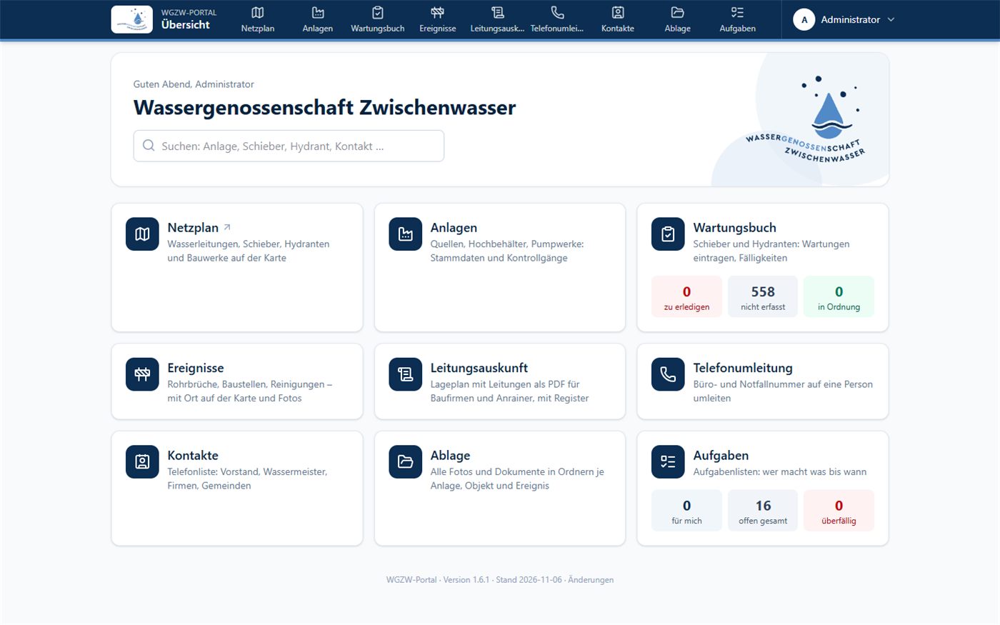
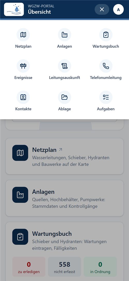
Clear on the PC, with big buttons on phone and tablet. As an app on the home screen – no app store needed. (Screenshots show the German version.)
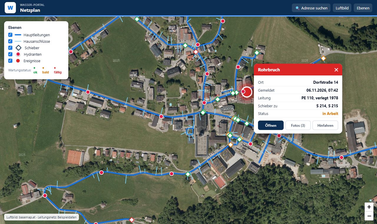
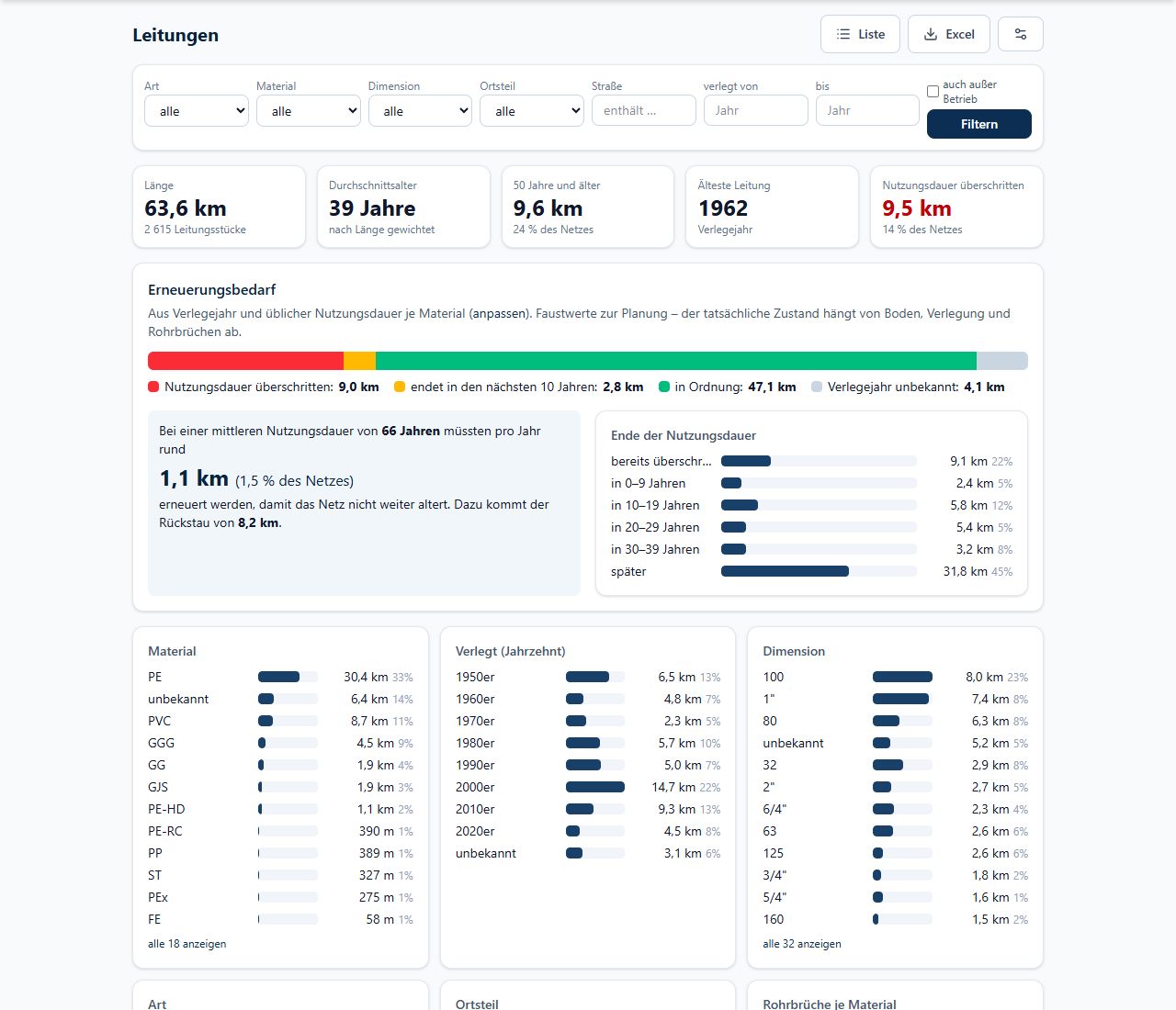
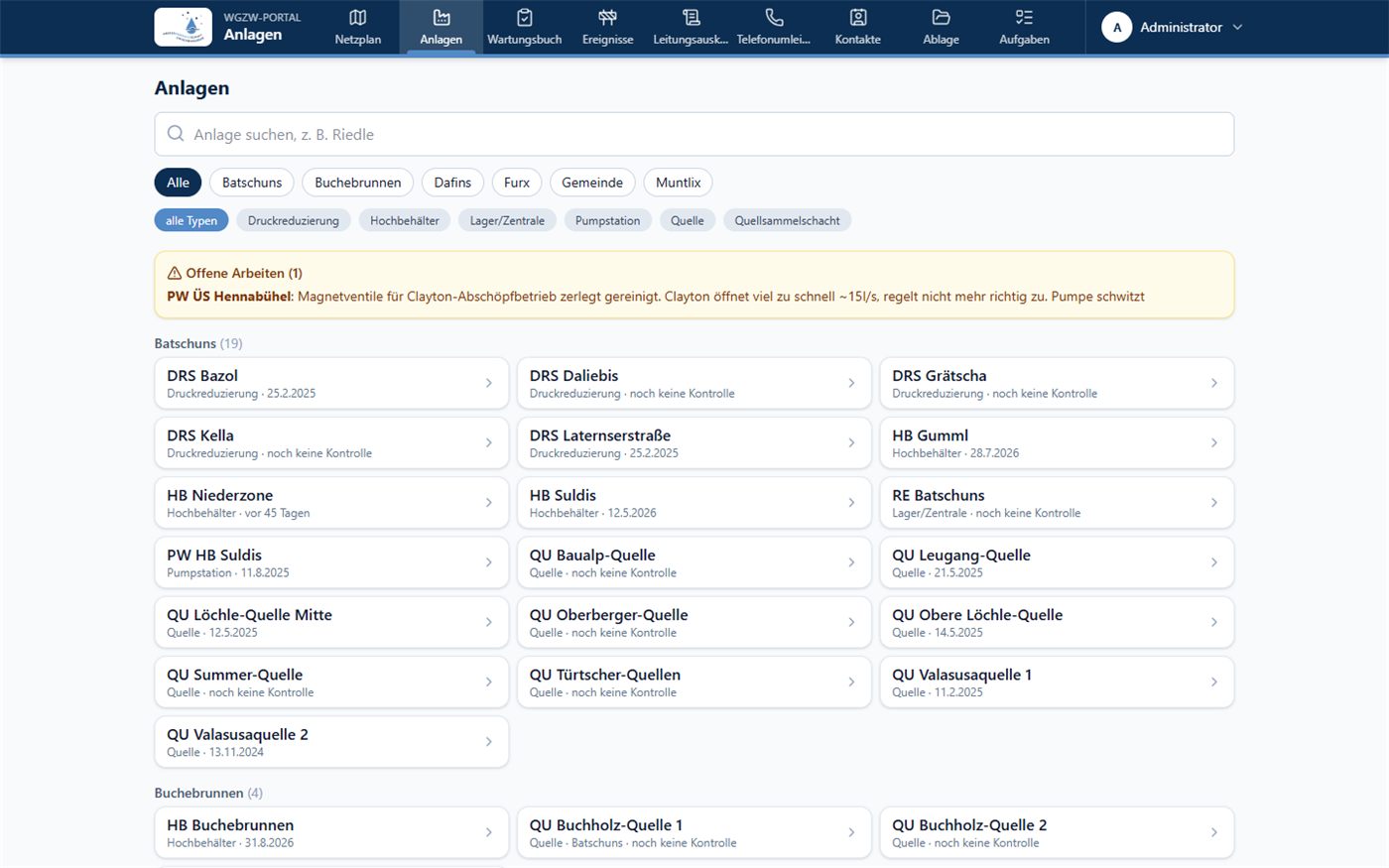
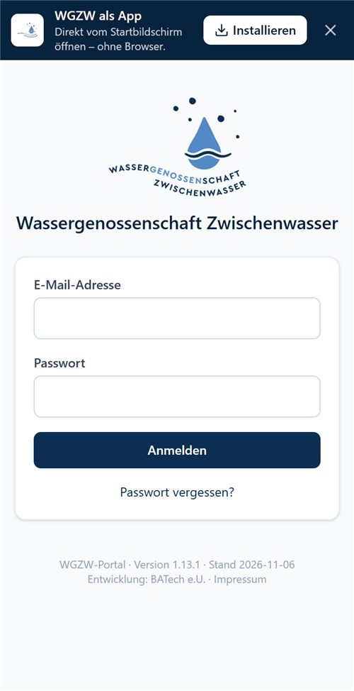
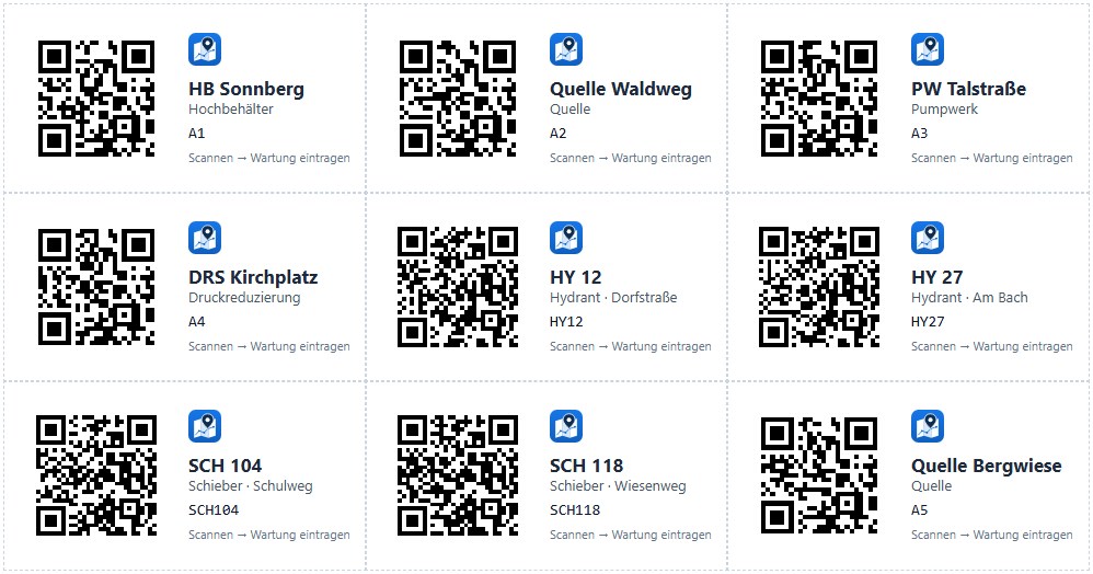
Sample images – some from daily operation at the Zwischenwasser water cooperative, some with fictitious data.
You don't have to install or set up anything – we do that for you, with your data.
We show you BAgis live and work out together which areas you need.
We take over your network map and existing lists, facilities and documents – with your logo and your colours.
A short training session for field staff and office. After that, everyone records directly in BAgis.
We take care of updates, backups and monitoring. If you have questions, we are there for you.
Drinking water is critical infrastructure. That is why BAgis is not openly reachable on the internet – and your data stays with you.
Your data belongs to you. You have access to everything in BAgis at any time – independently of us. Even if you stop using BAgis one day: all data stays with you and can be used straight away.
Prices depend on the size of your municipality or supply and the areas you use. After the demo you will receive a non-binding quote at a fixed price.
We show you BAgis live – on screen via Teams or on site with you. If you like, with an extract from your own network plan.
Prefer to call?
Daniel Bachmann · +43 676 4505881
office@batech.at · BATech e.U., 6835 Zwischenwasser, Austria